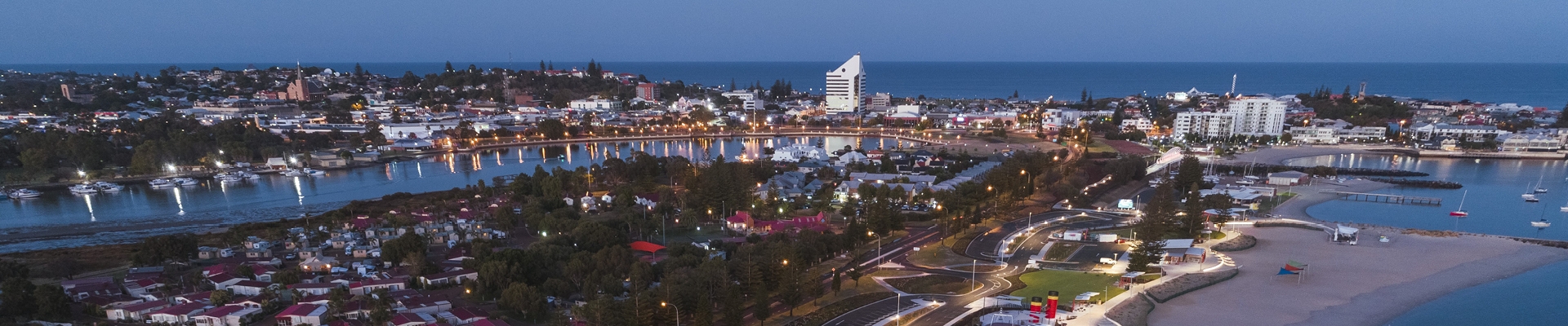
Bunbury’s coastline is a key part of our identity and lifestyle. It is rugged and dynamic, and in being so, this coastline is susceptible to the impacts of coastal changes from erosion and rising sea levels. The City of Bunbury is planning for its coastal areas to ensure that the impact of the changing coast is managed to reflect community expectations.
As part of this ongoing work, the City is developing a Foreshore Management Plan for the Back Beach, between the Casuarina Drive carpark in the north and the Mindalong Beach carpark in the south. The Foreshore Management Plan (FMP) will make recommendations for management of the Back Beach foreshore by identifying how the foreshore is used, what’s important for the local community in the future and how to manage any potential issues.
The City has engaged a consultant team to prepare the plan, which follows on from the City’s endorsed Coastal Hazard Risk Management and Adaptation Plan (CHRMAP). The CHRMAP looks at the longer-term projections, whilst the FMP will help us respond to shorter term coastal hazards that are already being experienced and impacting daily use of the foreshore and beaches.
Community Consultation
Community engagement is an important part of developing an FMP and there will be several ways for the Bunbury community to get involved to help us create the plan.
When creating an FMP, it is essential that the community who live, work and play in the area can be part of the process. The first stage of consultation is open until 24 December 2026 and we want to understand how you use the Back Beach and what you value about the area.There are many ways you can get involved:
- Take the online Community Values Survey - Tell us what you value about the Back Beach area by completing the survey below.
- Add to the Interactive Map - Use our interactive map to identify specific locations of active use, concern, or suggestions
- Join us at a community focus group session - Join us to learn about the project, and get involved in activities to share your thoughts. For details and how to register view the Community Focus Group Sessions section of this page.
- Register for project updates -Stay informed about the project progress and upcoming opportunities to be involved.
Click on the + Follow Project button to register.
Background
As part of the Peron Naturaliste Partnership for the coastline between Capel and Leschenault, the City of Bunbury recently prepared the City of Bunbury Coastal Hazard Risk Management and Adaptation Plan (CHRMAP).
The purpose of the City of Bunbury CHRMAP was to provide strategic guidance for coordinated, integrated and sustainable decision making for long term coastal land use planning, including management of, and adaptation to, these coastal hazard risks.
One of the recommendations from the CHRMAP was to prepare an FMP for the Back Beach. The purpose of the plan is to identify the shorter-term land uses, values and issues at the foreshore, and make recommendations for its management.
To find out more about the City of Bunbury CHRMAP, visit the City of Bunbury CHRMAP project page.